
Tropical Storm Edouard 2026: What Happened and Key Lessons
Updated October 13, 2026
Tropical Storm Edouard is no longer active. The storm made landfall near Johnson Bayou, Louisiana, on September 1, 2026, at approximately 2:20 p.m. CDT, with maximum sustained winds near 60 mph, according to NOAA.
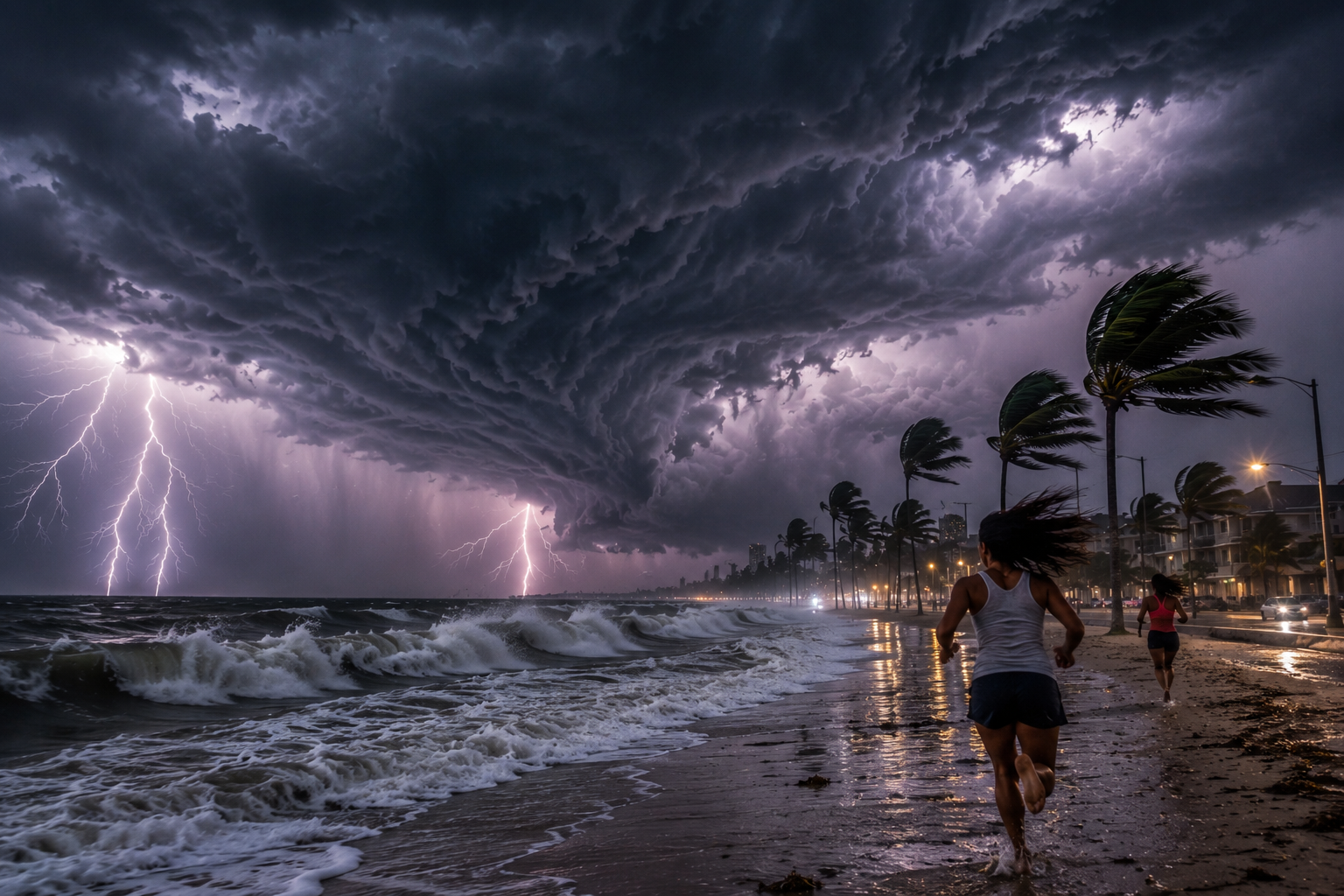
Edouard brought heavy rainfall, strong winds, and flooding concerns to southwestern Louisiana and eastern Texas before weakening inland. This article looks back at what happened, where the storm made landfall, and what residents can learn about preparing for future tropical storms.
WHERE DID TROPICAL STORM EDOUARD MAKE LANDFALL?
Tropical Storm Edouard made landfall near Johnson Bayou in southwestern Louisiana on September 1, 2026. According to the National Hurricane Center, the storm moved northwest into southeastern Texas, bringing heavy rainfall and gusty winds. Edouard weakened to a tropical depression later that evening as it traveled farther inland.
HOW MUCH RAIN DID TROPICAL STORM EDOUARD BRING?
Tropical Storm Edouard brought heavy rainfall to parts of southeastern Texas and southwestern Louisiana on September 1, 2026. The National Hurricane Center reported heavy rain spreading across southeastern Texas after landfall. The National Weather Service warned that flash flooding was likely in some areas. Rainfall amounts varied by location, and these warnings were issued during the storm, not for current conditions.
Strong Winds and Storm Surge
Tropical Storm Edouard reached the Louisiana coast on September 1, 2026, with maximum sustained winds near 60 mph. According to NOAA, strong wind gusts affected southwestern Louisiana and the Upper Texas coast. The storm brought down trees and power lines, causing power outages.
Before landfall, the National Hurricane Center issued a storm surge warning for portions of the Texas and Louisiana coastline. Storm surge occurs when strong winds push seawater onto normally dry coastal land, potentially flooding roads, homes, and low-lying communities. These warnings applied to the September 2026 storm and are not current alerts.
WHEN DID TROPICAL STORM EDOUARD REACH THE COAST?
Tropical Storm Edouard made landfall near Johnson Bayou, Louisiana, at approximately 2:20 p.m. CDT on September 1, 2026, according to the National Hurricane Center.
At landfall, Edouard had maximum sustained winds of approximately 60 mph. The storm moved northwestward into southeastern Texas and weakened to a tropical depression by 10 p.m. CDT that evening. These are historical observations, not current forecasts or warnings.
HOW CAN RESIDENTS PREPARE FOR FUTURE TROPICAL STORMS?
Tropical Storm Edouard serves as a reminder that coastal residents should prepare before severe weather develops. Families can reduce risks by keeping emergency supplies available, including drinking water, medications, flashlights, batteries, and portable phone chargers.
Residents in hurricane-prone areas should also review evacuation routes and know where to find official weather alerts. During future storms, always follow instructions from local emergency officials, avoid flooded roads, and never drive through moving floodwater. Preparing early can help protect families, especially older adults and people who depend on medical equipment.
HOW TO TRACK FUTURE TROPICAL STORMS
For the latest storm track, watches, warnings, and official forecasts, check the National Hurricane Center and your local National Weather Service office.
Tropical Storm Edouard is no longer active. Its September 2026 forecasts and warnings are historical records. For future storms, residents should monitor the National Hurricane Center for official tropical cyclone forecasts and their local National Weather Service office for weather alerts. Always check the date of a forecast before relying on it.
WHAT WE LEARNED FROM TROPICAL STORM EDOUARD
Tropical Storm Edouard made landfall in southwestern Louisiana on September 1, 2026, bringing strong winds, heavy rainfall, and flooding concerns before weakening inland.
The storm reminds us that even tropical storms below hurricane strength can create dangerous conditions. Coastal residents should prepare emergency supplies, understand evacuation procedures, and follow official weather information during future storms.
Although Edouard is no longer active, the lessons from this storm remain valuable for families living in hurricane-prone communities.
WHO NEEDS EXTRA PREPARATION DURING TROPICAL STORMS?
People living in low-lying coastal areas are at the greatest risk from flooding and storm surge. Older adults, people with limited mobility, and families who depend on medical equipment should make preparations early in case roads become difficult to travel or electricity is lost.
Even people farther inland should watch the forecast because heavy rainfall can cause flash flooding away from the immediate coastline.
HOW TO STAY SAFE DURING FUTURE TROPICAL STORMS
Weather conditions can change quickly during a tropical storm. Residents should keep phones charged, enable emergency weather alerts, and check local forecasts throughout the day. If a flash flood, storm surge, or evacuation warning is issued for your area, follow instructions from local officials immediately.
Never drive around barricades or enter floodwater. Staying informed and prepared can make a major difference during severe weather.
Read more news and helpful updates on Sarangno.